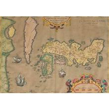
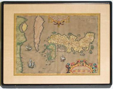
Luiz Teixeira创作的日本版画《Map of Japan》
艺术家:Luiz Teixeira
标题:Map of Japan
日期:ca 1598
详情:更多信息...
来源:Robyn Buntin of Honolulu
浏览所有4,310幅版画...
描述:
Japoniae Insulae Descriptio Ludoico Teissera acutore. This map, drawn by the Portuguese Jesuit Luiz Teixeira, was the first printed map of Japan to appear in a Western atlas. It shows all of Japan, part of Korea, and part of China. The map is ornated with the title cartouche in the upper center and a decorative scale of milage in the lower right corner. The 'privilegium' is written on the upper right side. Villages and towns are shown as miniature views, and the map is further ornated with 3 ships. This is a copper engraving, finely hand colored in wash and outline. The map is in a double sided frame.
相似版画

31% 匹配度Buntin
