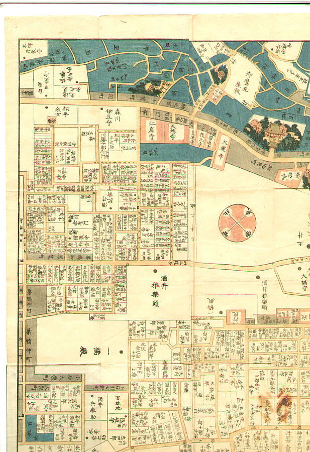
Unknown创作的日本版画《Map of Komagome in Edo era - Owariya Edition》
艺术家:Unknown
标题:Map of Komagome in Edo era - Owariya Edition
日期:Originally 1857.
详情:原拍卖页面已不再公开。有关此版画的更多信息,请访问Artelino档案库(需要注册免费账户)。
来源:artelino - Japanese Prints
浏览所有24,751幅版画...
描述:
"Owariya Ban Kiri-e Zu". The 31 folded maps of different parts of Edo, published one by one during 1850-1865 by Owariya. These were the maps people actually used to locate addresses. Red color indicates temple, shrine and Buddhist related areas. Grays are small housing areas. Larger houses have their family names indicated. Blue is farms and forests. This one is the map of Komagome area. Torii and Fuji-zuka (small Mt.Fuji) next to Ryumon-in, Kichijo-ji Temple, the medicinal plant garden.